Valencia Region (DR2) - Pilot Activities Overview
The primary objective of the Valencian pilots is to reinforce sustainable forest management and fire prevention strategies by demonstrating how targeted innovations can be embedded within existing institutional workflows.
The Valencian Region is implementing two Pilot Actions:
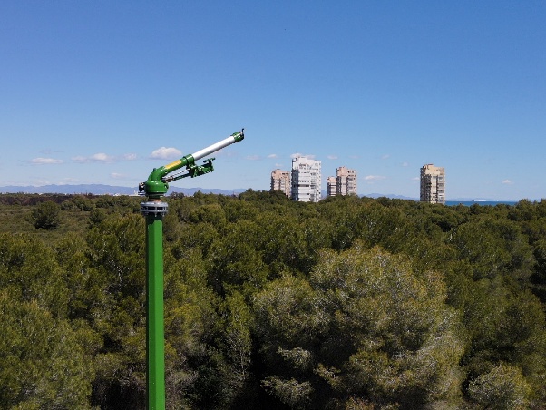
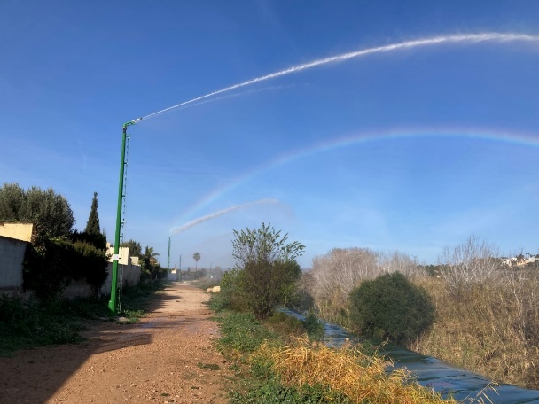
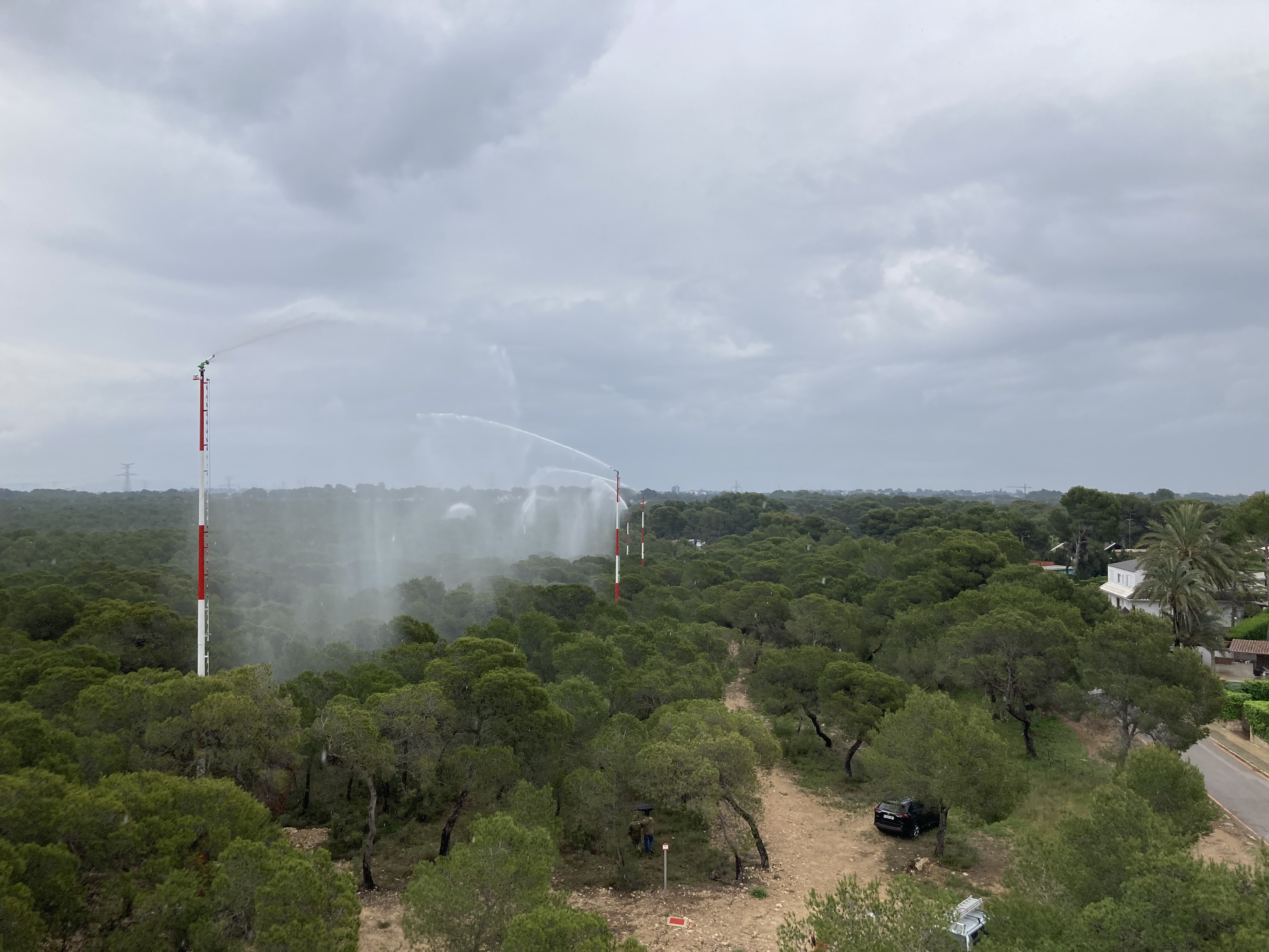
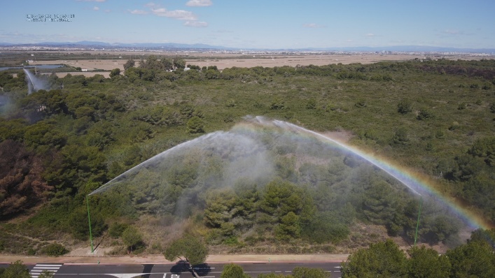
Pilot Action 1 – Green Firebreaks in the Wildland-Urban Interface
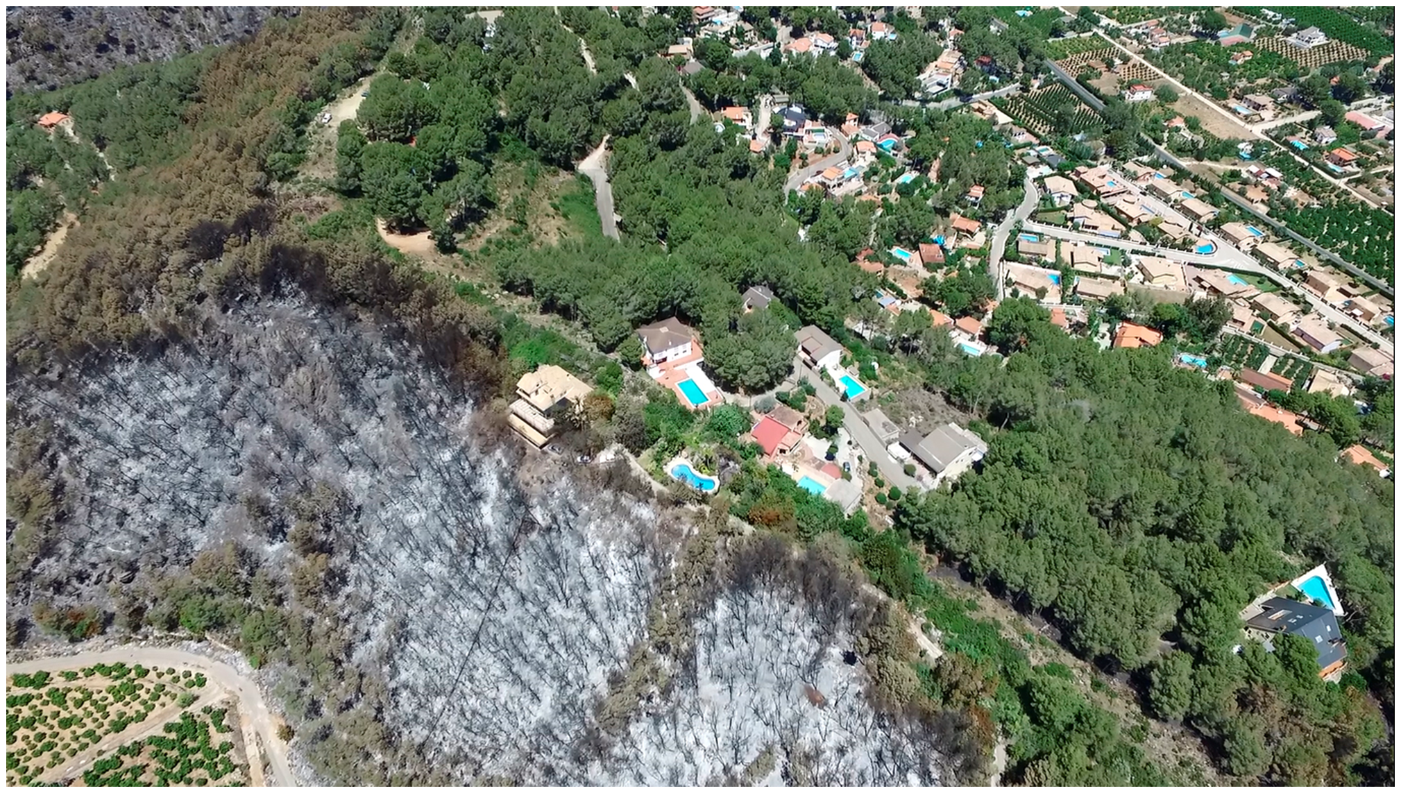
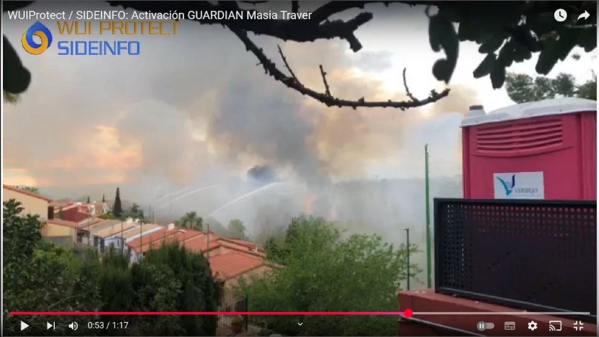
The main objective of this pilot is to develop a comprehensive strategy to protect vulnerable Wildland-Urban Interface (WUI) areas by increasing their resistance through the creation of perimeter green firebreaks. These barriers act as a buffer to reduce wildfire spread and intensity in zones where human infrastructure meets forest ecosystems.
The pilot focuses on the full engineering design of a system built on four key pillars:
- Fuel Management: Prioritizing native, low-flammability vegetation and reducing fuel continuity to generate fire-resistant structures.
- Circular Water Economy: Maintaining vegetation moisture through prescribed irrigation using reclaimed water from the communities being protected.
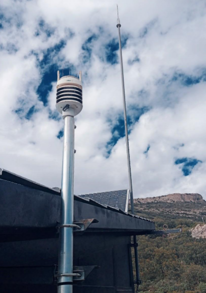
- Adaptive Infrastructure: Designing an autonomous irrigation system supported by a wireless network of meteorological and soil sensors for data-driven management.
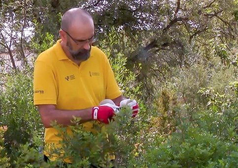
- Governance and Training: Integrating technical documentation with public involvement activities, such as training in emergency self-protection and pyro-gardening techniques.
- Increased safety and preparedness for communities in high-risk WUI areas.
- Enhanced biodiversity and improved microclimatic conditions through the use of native species.
- Creation of a sustainable, autonomous water resource for fire prevention, even during drought periods.
Pilot Action 2 – Sensor Network for Climate Monitoring
This pilot seeks to strengthen forest fire prevention by enhancing the region’s capacity to monitor and interpret environmental conditions in real-time. By deploying a high-resolution sensor network, the project aims to reduce uncertainty in risk assessment and improve the precision of early warning systems.
The implementation focuses on transforming environmental observations into actionable information through data integration:
- High-Resolution Monitoring: Deploying a network of automatic weather stations to capture local microclimatic variability.
- Operational Integration: Systematically integrating all data streams into existing regional decision-support platforms, specifically SIGIF/MetPIF.
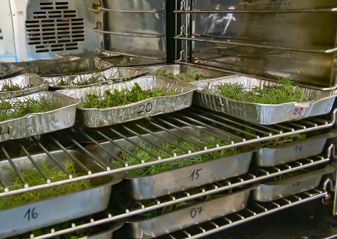
- Live Fuel Moisture Assessment: Developing enhanced LFMC (live fuel moisture content) datasets to support the assessment of landscape flammability.
- Support for Prescribed Burning: Using real-time data to identify safe windows and reinforce the implementation of prescribed burning activities.
- Improved accuracy and spatial representativeness of wildfire risk-related variables.
- More effective and reliable prioritization of fuel management activities and resource allocation.
- Strengthened long-term resilience of forest ecosystems through adaptive and science-based management.