Sardinia Region (DR3) - Pilot Activities Overview
Sardinia is implementing three specialized pilot actions: a GIS-based coastal retreat modeling system to identify natural accommodation space for beaches, a sediment management methodology to repurpose reservoir deposits for beach nourishment, and a marine conservation protocol to identify “climate refugia” and ecological corridors for Posidonia oceanica.
By fostering multi-actor governance and citizen science, the pilots seek to overcome institutional silos and build a scalable, replicable model for climate resilience that aligns regional actions with European environmental objectives.
Pilot Action 1 – Coastal Space for Adaptation to Sea Level Rise
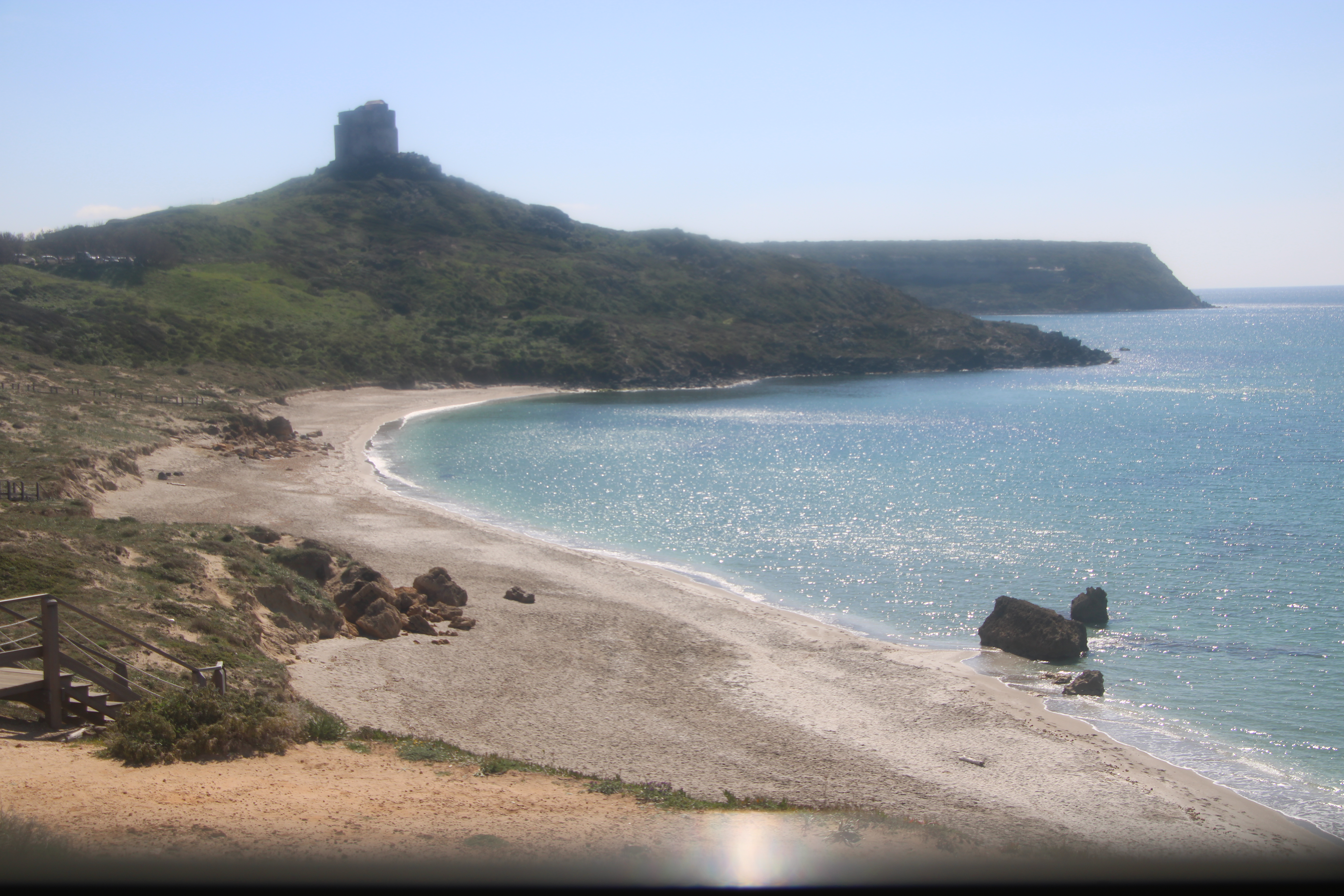
The primary objective is to implement an interoperable Geographic Information System (GIS) dedicated to coastal areas. The pilot aims to develop management strategies that increase the resilience of beaches by identifying the “accommodation space” needed for natural coastal adjustment.
The pilot utilizes a data-driven approach to map coastal dynamics:
- Time Series Analysis: Assessment of historical shoreline positions using aerial photos and satellite imagery.
- Retreat Forecasting: Application of site-specific algorithms to project expected coastal retreat based on IPCC sea-level rise scenarios.
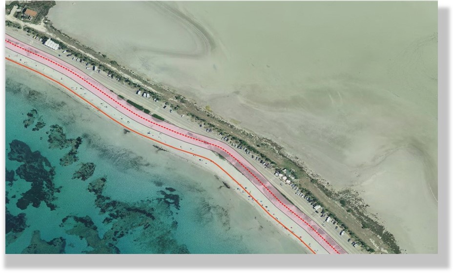
- Constraint Mapping: Identification of coastal systems where natural adaptation is limited by human infrastructure (roads, buildings) or natural barriers (cliffs).
- Development of a GIS-based decision-support tool for coastal spatial planning.
- Preservation and protection of semi-natural beaches and dune systems.
- Integration of climate-informed data into official regional planning instruments.
Pilot Action 2 – Sediment Management and River Mouths Evolution
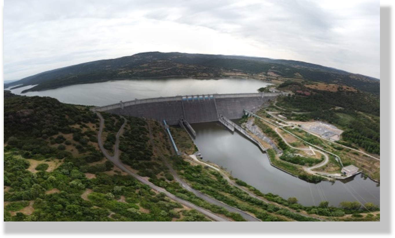
This action develops a methodology to assess the feasibility of using reservoir sediment as a source of material for beach nourishment. It seeks to restore the natural movement of sediment to coastal areas, which has been trapped by dams built over the last century.
- Dynamic Database: Creation of a GIS-based database of sediment deposits in artificial lakes.
- Decision-Making Tool: Development of a multi-criteria decision-making (MCDM) tool to identify the most suitable reservoir-beach systems for nourishment operations.
- Compatibility Studies: Technical feasibility studies to analyze the compatibility between reservoir sediment and beach sand.
- Restoration of sand supply to eroding beaches using natural materials.
- Increased water storage capacity in reservoirs through sediment removal.
- Enhanced territorial management through the integration of water and coastal planning.
Pilot Action 3 – Mapping the Future of Posidonia oceanica
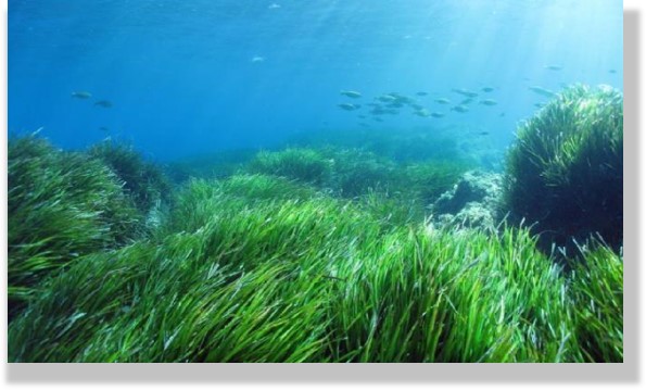
The pilot aims to protect Posidonia oceanica meadows by identifying “climate refugia” – areas where this endemic seagrass can persist despite climate change. This approach ensures long-term coastal stability and the resilience of essential ecosystem services.
- Ecological Modelling: Using future climate projections and Species Distribution Modelling (SDM) to assess long-term habitat suitability.
- Ecological Corridors: Delineation of corridors to ensure spatial connectivity between Marine Protected Areas (MPAs) and Natura 2000 sites.
- Decision-Support Protocol: Translation of scientific outputs into actionable guidelines for regional authorities to implement protective measures.
- Safeguarding of natural coastal defense systems and significant carbon sinks (blue carbon).
- Strengthened ecosystem adaptive capacity and support for coastal community resilience.
- Alignment of regional conservation planning with the EU Biodiversity Strategy 2030.